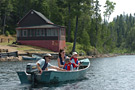
 Fishing with Accommodations
 Day Fishing
 Wading
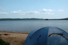 Adventure Fishing
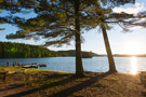 Pontoon
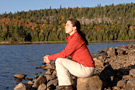 Hiking
 Biking
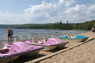 Boating Activities
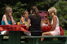 Visiting and Picnicking
 Wildlife Watching
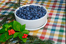 Picking Berries in the Forest
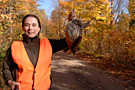 Small Game Hunting with Accommodations
 Small Game Day Hunting
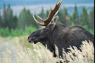 Moose Hunting
 Black Bear Hunting
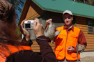 Small Game Hunting
 Family Moose Hunting
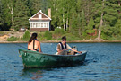 Fishing with Cabin Accommodations
 Day Fishing
 Family Vacation Packages
Be Informed
Sign up for Sépaq emails to be the first to find out about our promotions, news and special offers.
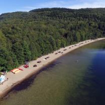
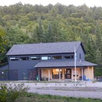
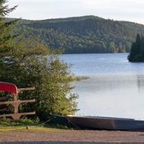
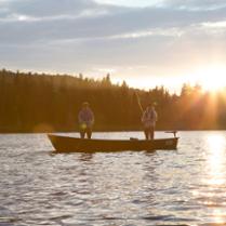
Near the large urban areas and straddling the Lanaudière and Mauricie regions, Réserve faunique Mastigouche offers a highly diverse natural environment you can reach via a well maintained network of roads and highways. Lac Sorcier owes its name to an old legend. It's said that a sorcerer used to haunt the island in the lake, keeping people awake at night by making strange noises. Réserve faunique Mastigouche is, however, a calm and relaxing place... ideal for a holiday. Besides traditional hunting and fishing activities, you can discover the attractions of this interesting territory through hiking. Camping lovers will be entranced with Lac-Saint-Bernard.

Karl Tremblay | © Sépaq
Karl Tremblay | © Sépaq
Karl Tremblay | © Sépaq
© Sépaq
Activities for your youngsters, accommodations, and services - discover what this family destination has in store for your vacation! See our detailed fact sheet.
In the mood for a few more days of fishing? Plan next summer’s fishing trip with cabin accommodations and get 15% off the third and subsequent nights. Details and conditions
The borders of the wildlife reserve's moose hunting sector can now be seen on a downloadable KML file. Click here
Sign up for Sépaq emails to be the first to find out about our promotions, news and special offers.