Big game hunting
The best Avenza Maps tips
How can I pull off the very best prospecting planning so as to optimize my success rate? This is a question most hunting enthusiasts ask themselves. Access networks, wildlife habitats, and hunting hot zones: hunters must do their homework if they want to get their hands on that much-coveted game… and harvest it safely and securely!
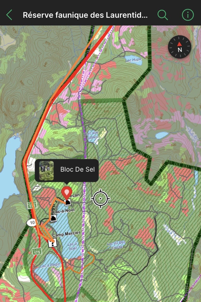
Our geomatics team disseminates a number of mapping tools so you can fully prepare for your hunting stay. Our favourite option: free downloadable maps of 13 wildlife reserves and Sépaq Anticosti in the Avenza Maps mobile application. Since they’re georeferenced, you’ll know exactly where you’re located at all times, even if you don't have cell phone coverage. In short, there's no valid reason not to make the most of these excellent maps.
Are you ready to set off on an adventure and have the best possible experience at our destinations across Québec? Okay! Let’s go!
1. Avenza Maps: a host of popular features
Even before leaving home to explore a hunting territory, download the Avenza Maps mobile application on your device via the App Store® or Google PlayTM.
Once this step has been completed, here's how to download the Sépaq maps for free:
- Click on the “Store” tab at the bottom right of your screen.
- Click on the icon to filter a request, then enter "Sépaq" under the “Publisher” heading located at the bottom of the page.
- In the search field, enter the word “hunting” followed by the name of the wildlife reserve.
- Find the map you're interested in, then download it on your device. It will then be found under the “My Maps” tab in the application. It can be consulted directly there.

Additional tips when viewing a map:
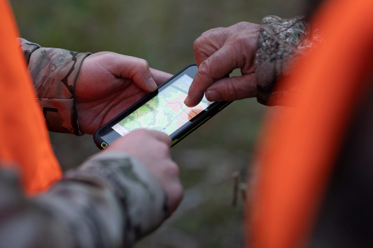
- Once on site, your location will be represented on the map by a blue marker. This indicator will confirm that you’re not lost or astray: keep an eye on it at all times!
- You can switch to "Compass" mode at any time by clicking on the arrow icon located on the left, at the bottom of the screen. We love this feature for an old-school hunting experience!
- To evaluate a distance, click on the ruler and pencil icon on the right, at the bottom of the screen. Select the option “Draw and measure,” then “Add point” at the desired location. The point can then be moved on the map to estimate the journey that awaits you.
2. Optimize exploration of the hunting territory
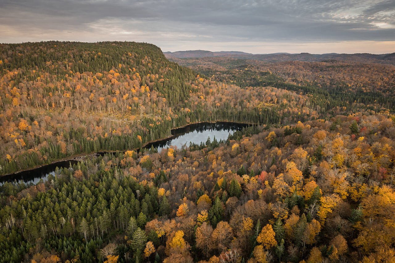
It's no secret that Sépaq's territories are unimaginably immense. To optimize tracking, one rule prevails: thoroughly exploring the territory. In other words, harvesting game can't be improvised; it has to be planned down to the smallest details, as seasoned hunters know only too well!
As your hunting stay will be a short one - and you've been looking forward to it for a long time - the Avenza Maps application will help you put all the odds in your favour. In addition, you can discover:
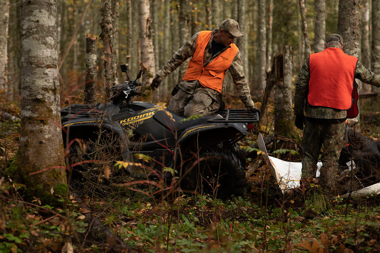
- Networks accessible by vehicle and ATV.
- Secondary and tertiary trails.
- Navigable waterways and ponds.
- Steep or hilly sectors.
- Suitable habitats, including feeding areas, refuges, and game movement pathways.
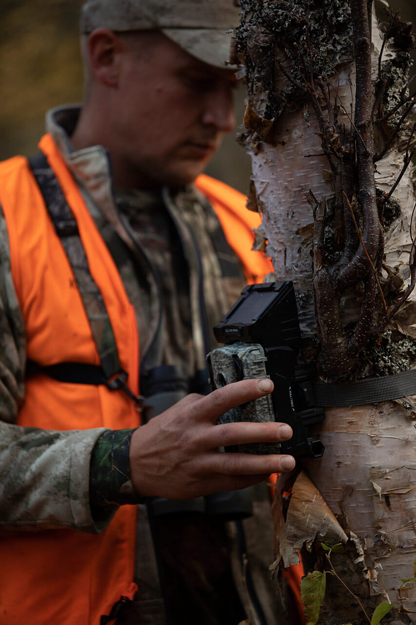
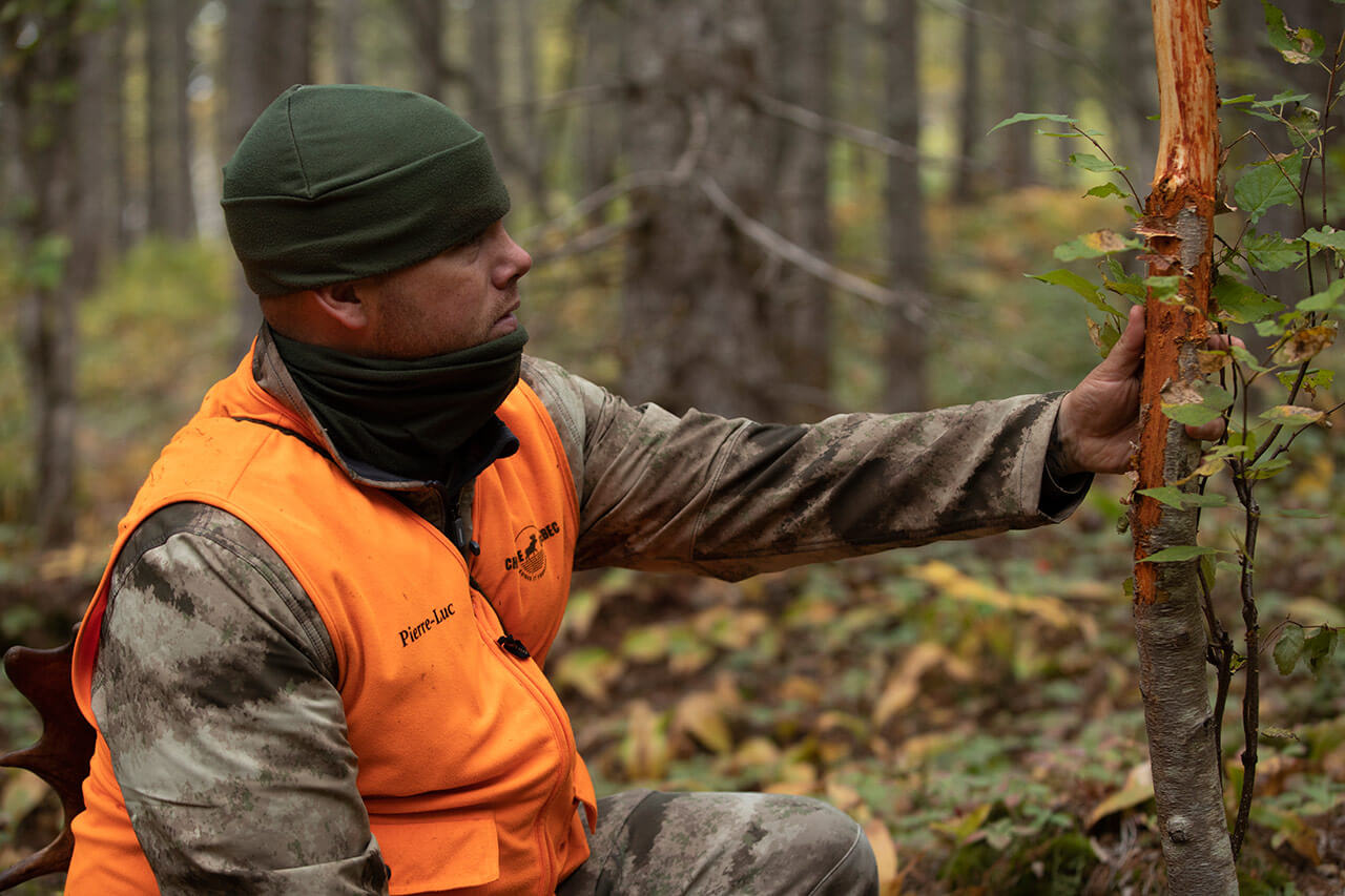
When exploring, don't hesitate to take pictures to identify the exact location of your cameras and of your salt licks, scraping marks, and wallows, as well as hoof tracks, for example. The advantage? You'll know exactly where to go on the big day.
Two ways to add a placemark in Avenza Maps:
- Click on the marker icon to the left of the GPS coordinates, at the bottom of the screen. A new window will open; you can rename the placemark that was just created and enter all details deemed relevant.
- First, take a picture of the desired location, making sure to activate the geolocation option on your device. Then, click on the ruler and pencil icon on the right, at the bottom of the screen. Select the option “Plot photos.” A marker will be added at the exact location where the picture was taken. You can then customize the related information, as for the previous procedure.
You'd like to know the route taken during your exploration?
That's also possible! To do this, click on the ruler and pencil icon, then select “Record GPS tracks.” Once you've finished exploring, you can visualize the route you've taken and you’re off to the races!
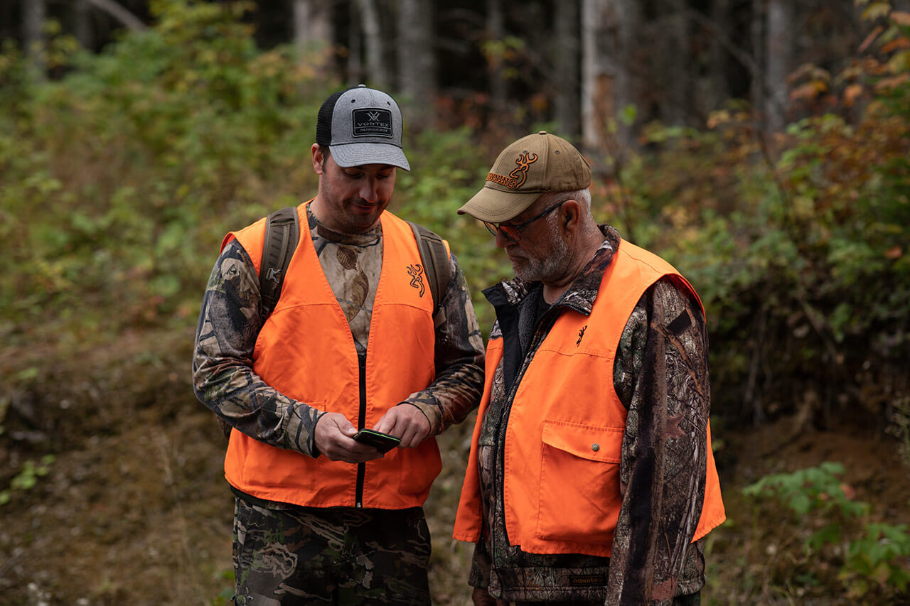
Before your hunting stay, don't hesitate to share the data collected with the members of your group. Nothing could be simpler: click on the map layers icon to the right of the GPS coordinates, then select the share icon on the right, at the top of the screen.
3. During your hunting stay
You've been waiting a long time for this moment: harvesting the game that you’ll feast on during the year ahead. But then you find yourself in a dense forest, without a cellular network, and with limited equipment. Pressure is at its peak… but safety must still come first!
Three ways to stay safe at all times:
- Clearly identify the location of your vehicle before venturing into the woods.
If necessary, activate the itinerary that will enable you to return there without any trouble at the end of the day, despite the darkness. To do this, click on the ruler and pencil icon, then “Navigate to a destination.” N.B. This feature provides the fastest route and does not take obstacles into account (mountain, river, etc.). Vigilance is therefore the order of the day. - Enter the GPS coordinates of a member of your group or of a location to reach them more easily. Simply click on the ruler and pencil icon, then select the option “Find by coordinates.”
- After the shot, identify the location of the key elements that bring you closer to the harvested animal on the map, using the different methods described above.
Gone are the days when orientation in the woods was guided by a compass! Hunting enthusiasts will be able to take advantage of technological tools such as the Avenza Maps mobile application to maximize their success and safety. The only downside is to make sure you bring a portable battery to charge your smartphone, if necessary. So let the tracking begin!
