Conseils et inspirations plein air
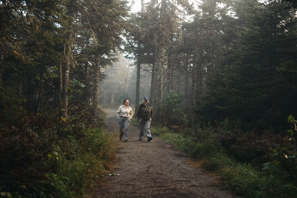
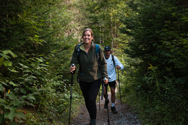
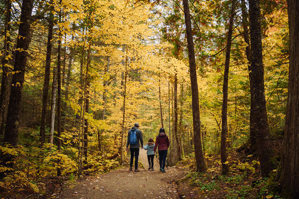
Notre équipe a un enthousiasme contagieux et adore partager sa passion pour la nature. Elle sait aussi s'allier à des collaborateurs captivants. C'est avec plaisir que ces personnes vous dévoilent leurs astuces, leurs histoires et leurs coups de cœur.

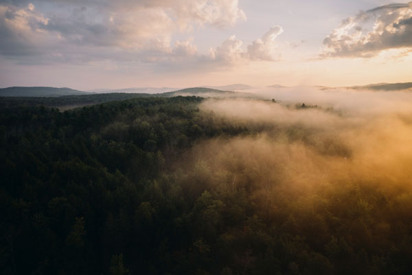
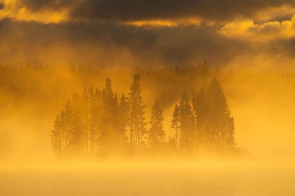
La nature qui inspire
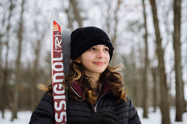
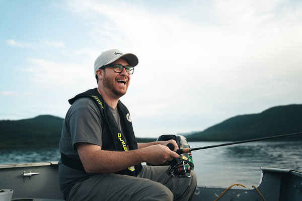
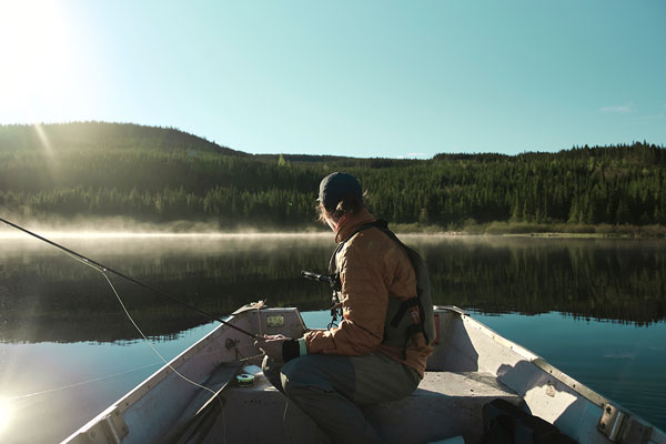
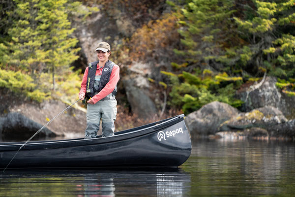
Une dévorante passion pour la pêche et l’aventure
Mode d’emploi pour réserver vos sorties en toute simplicité
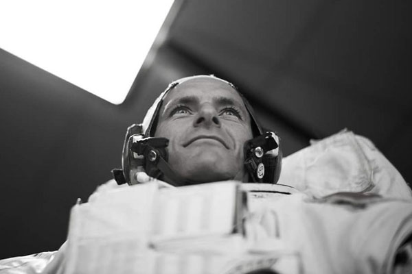
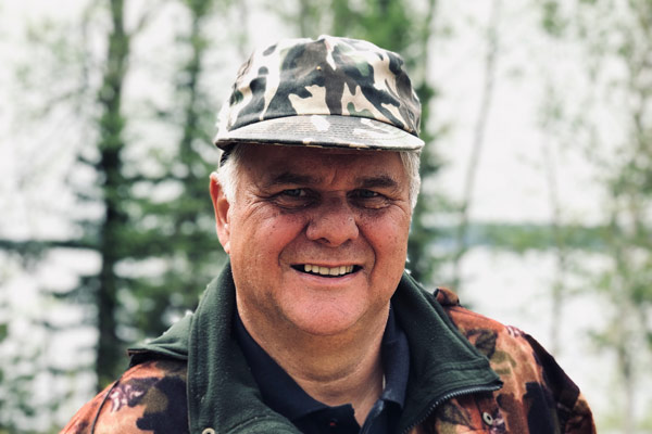
Suivre l’étoile : rencontre avec David Saint-Jacques
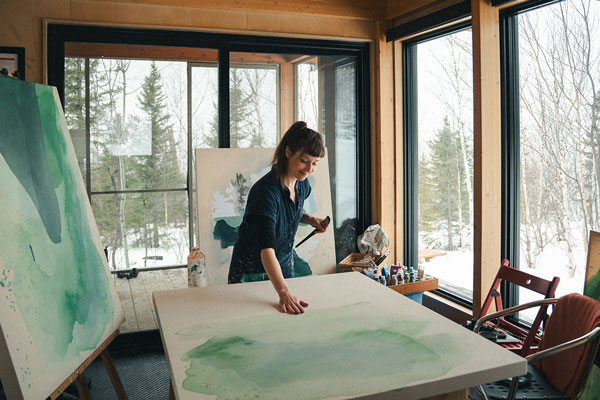
Processus créatif : l’impact de la nature sur le cerveau
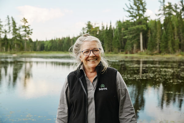
Vague d’amour pour les employés : des portraits qui font jaser
5 bonnes raisons de travailler à la retraite (à la Sépaq)
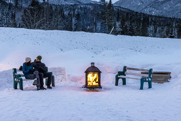
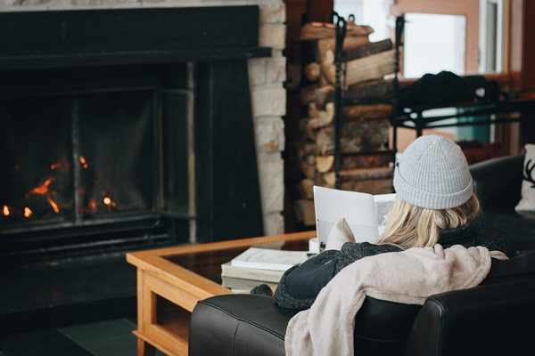
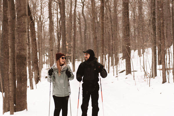
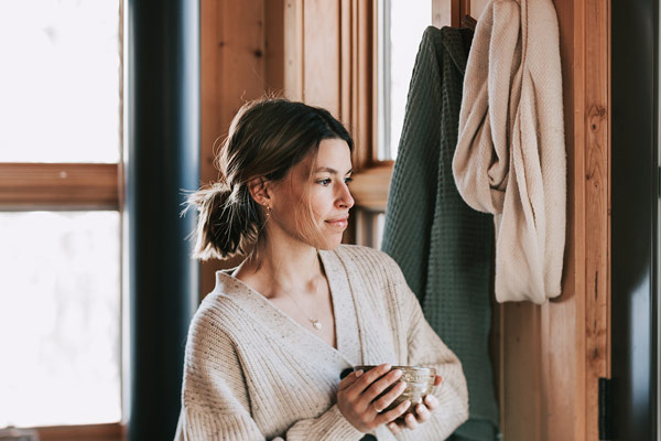
Hiver douillet : profiter confortablement de la saison froide
 Parc national d'Oka
Mon premier hiver québécois
L’art de se sentir en vacances (même en travaillant)
Profession : gestionnaire terrain

Rencontre avec Marianne St-Gelais
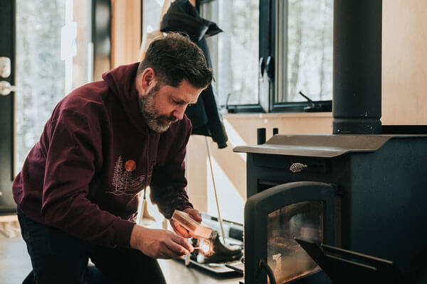
Poêle à bois et foyer au propane : savoir en profiter en toute tranquillité
 Parc national de la Jacques-Cartier
Garder son cœur d'enfant avec Math Duff

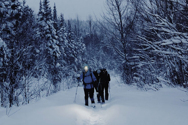
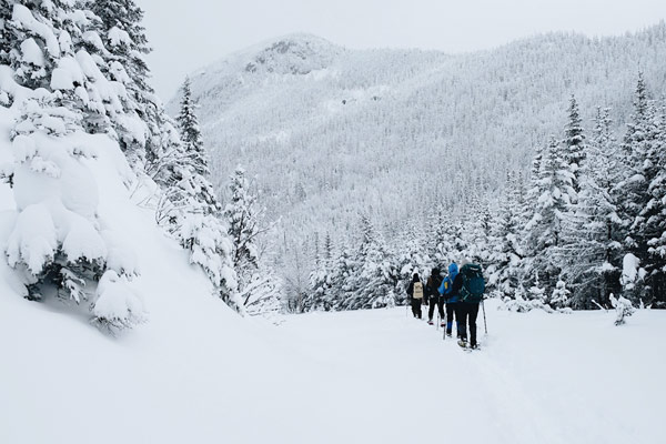
Excursions hivernales en montagne

Profiter de l’air frais à peu de frais
Les 5 (excellentes) raisons de visiter l’Auberge de montagne des Chic-Chocs en été

Simplifier la chasse aux idées-cadeaux
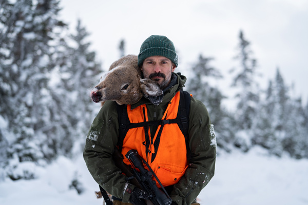
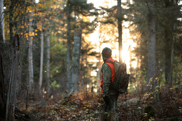
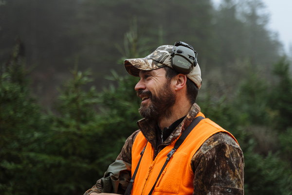
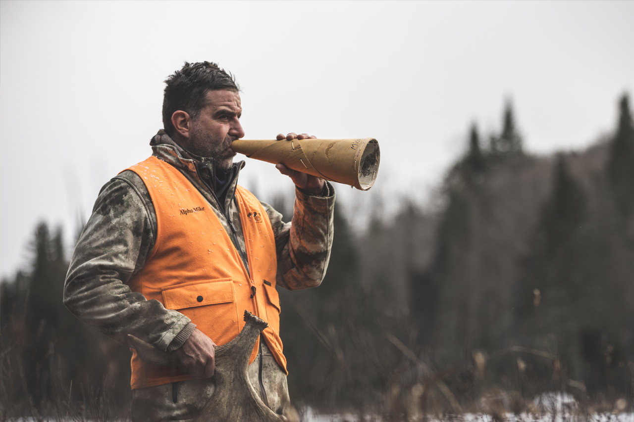
Paradis de chasse à faire rêver

Notre petit guide pour prendre soin de la nature en hiver

Nos endroits cachés pour relaxer en hiver

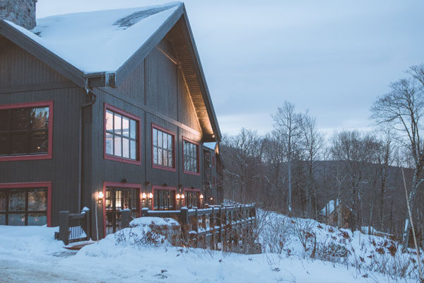
Nos meilleurs chalets pour célébrer les Fêtes
14 idées-cadeaux écolos pour les mordus de plein air
5 livres québécois pour les passionnés de nature
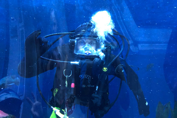
 Aquarium du Québec
Une scientifique à l’âme artistique
Entretien d’équipement de plein air
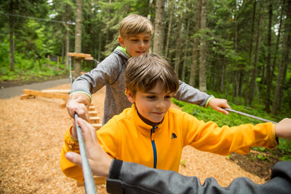
Activités d’équipe : des aventures qui rapprochent
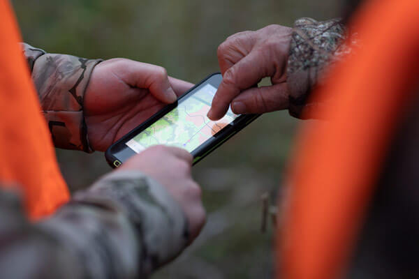
Chasse au gros gibier : les meilleures astuces d’Avenza Maps
Bien se préparer pour la chasse au cerf de Virginie sur l’île d’Anticosti
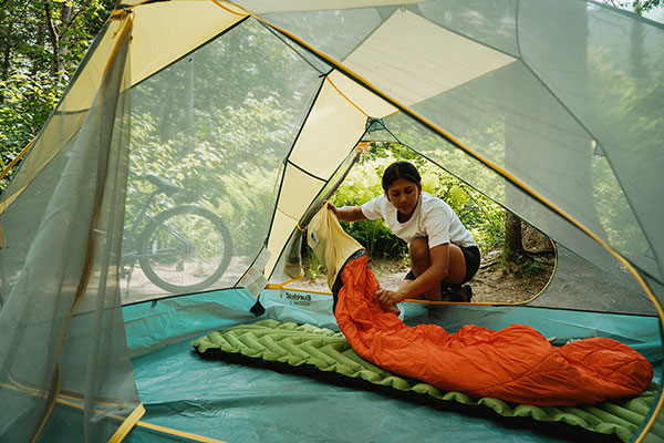
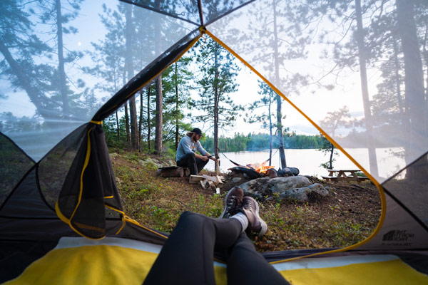
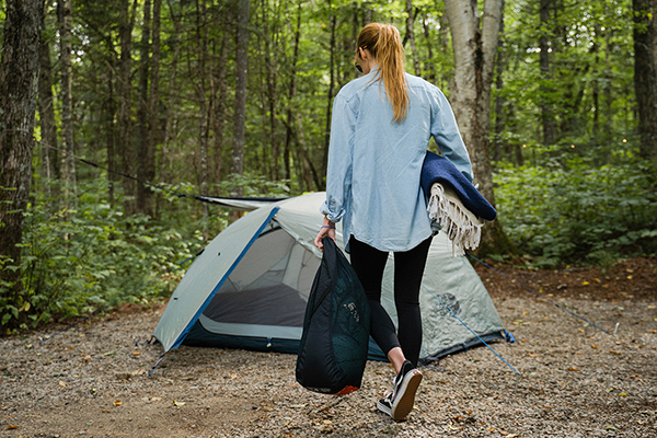
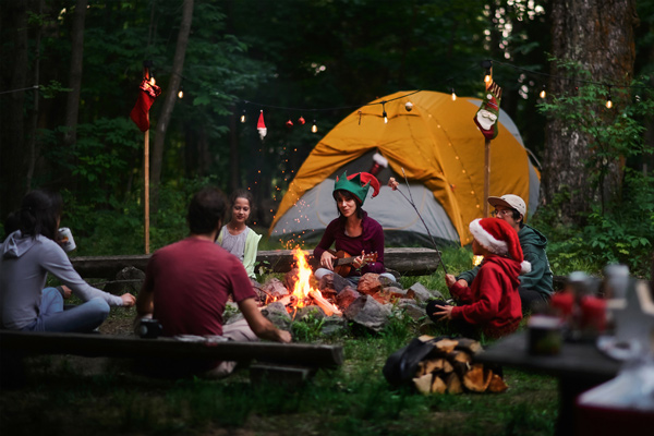
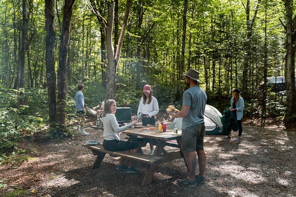
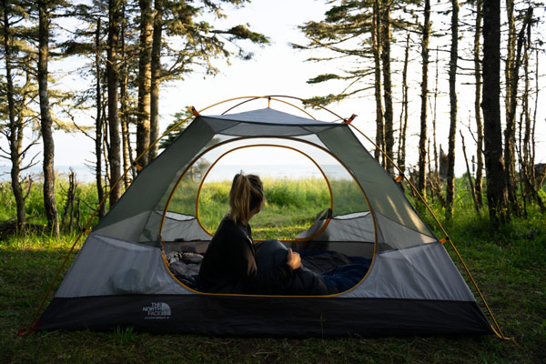
Camping d’automne tout confort : on apporte quoi?

Conciliation travail‑nature : quand le bureau se transporte en plein air

Télétravail en nature : des « bureaux » dans tout le réseau!
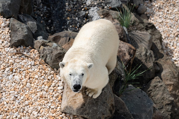
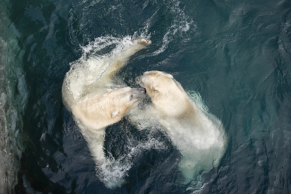
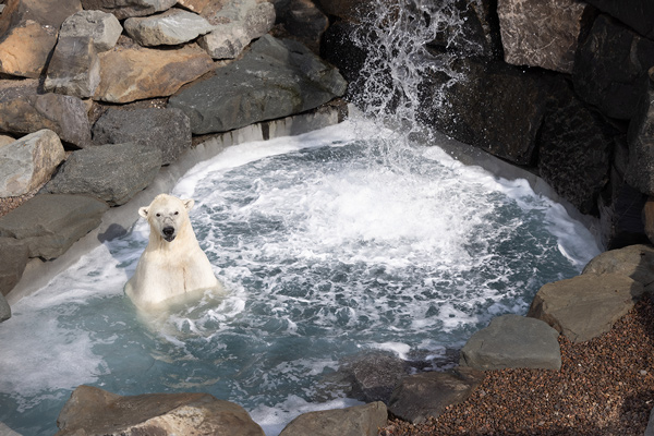
Entraîneur d’ours blancs au cœur tendre
 Parc national du Mont-Tremblant
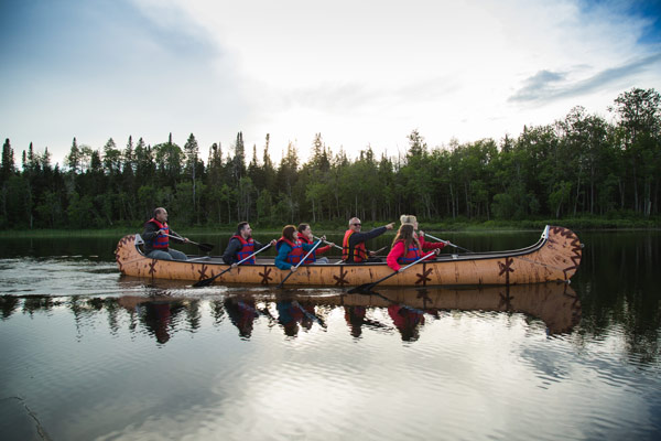
Récit d’un week-end de canot-camping

Sept journées d’exception en plein air

Le kit parfait pour cuisiner en camping
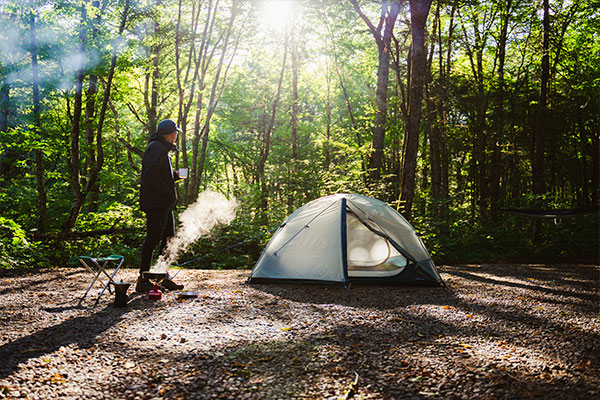
Préparer sa saison de camping
En randonnée, jamais sans mon « GORP »
S’expatrier dans l’Est
 Réserve faunique Ashuapmushuan
Réserve faunique Ashuapmushuan : 10 faits inusités à découvrir
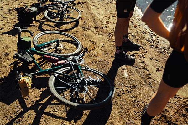
Quoi manger avant, pendant et après une promenade à vélo?
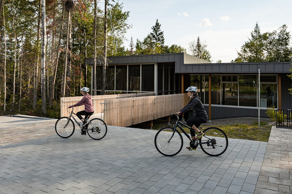
Vélo et camping : en piste pour des escapades bonifiées
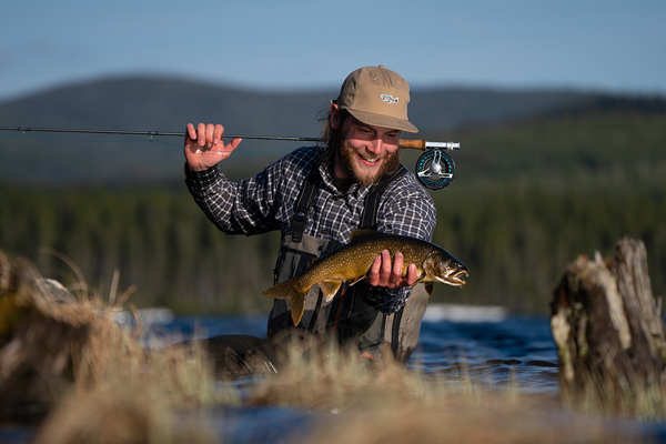
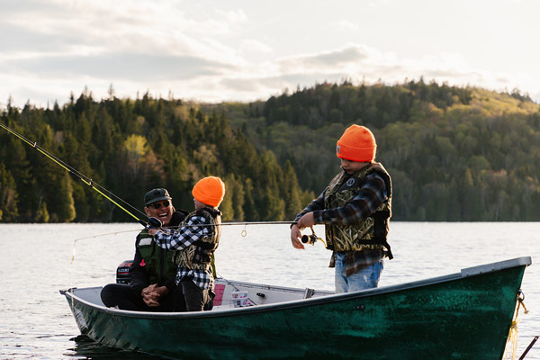
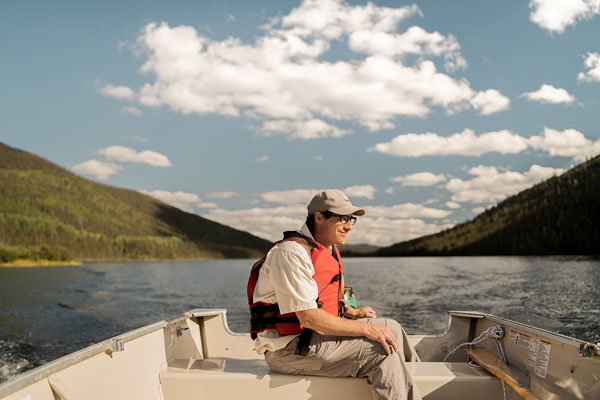
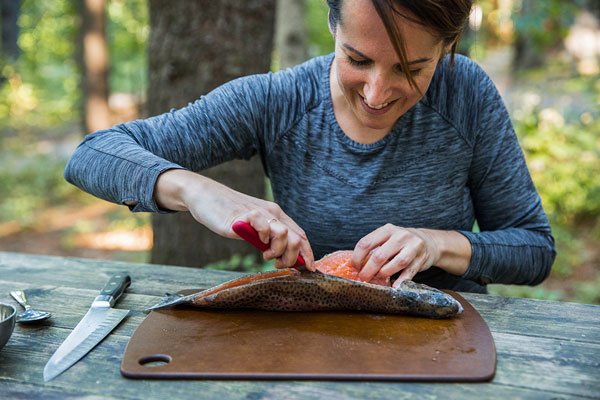
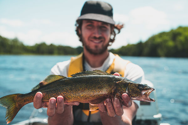
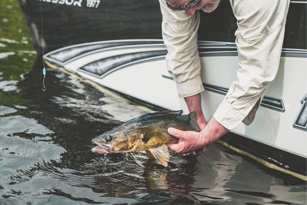
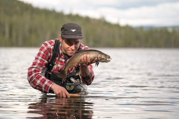
À la pêche avec Alexis Pageau
Nouvelle mouture de Pêche en herbe : vers une relève en pêche sportive, éthique et durable
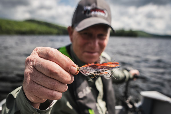
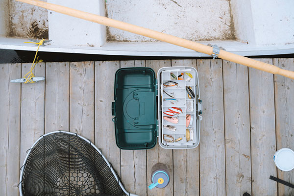
Préparer son attirail de pêche pour le début de la saison

Les meilleures destinations pour l'ouverture de la saison de pêche

Les meilleurs endroits pour commencer sa saison de camping

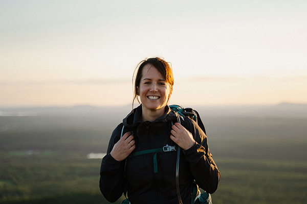
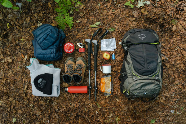
Sac à dos pour la courte rando : les conseils d'experts
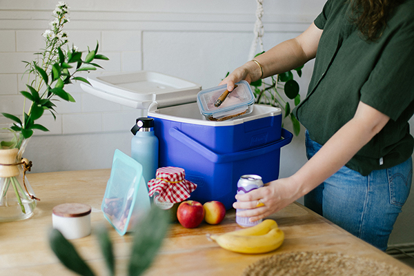
Acheter une glacière: astuces pour la choisir et l’utiliser en toute efficacité
Acheter un sac de couchage
À la découverte du vélo-camping dans la réserve faunique des Laurentides
Astuces pour choisir un modèle de tente qui convient à vos besoins
L’œil de lynx d’Isabelle

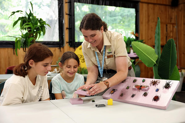
Top 10 des insectes à découvrir au Festival des insectes

Les bienfaits de la forêt sur le cœur humain
L'appel de la nature : rencontre avec Vanessa Pilon

Cet hiver, on essaie la pêche blanche
Une deuxième carrière au grand air
L'hiver à la Sépaq

Nos destinations d'hiver à proximité des grands centres
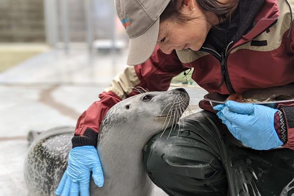
Entraîneuse d’ours et de phoques
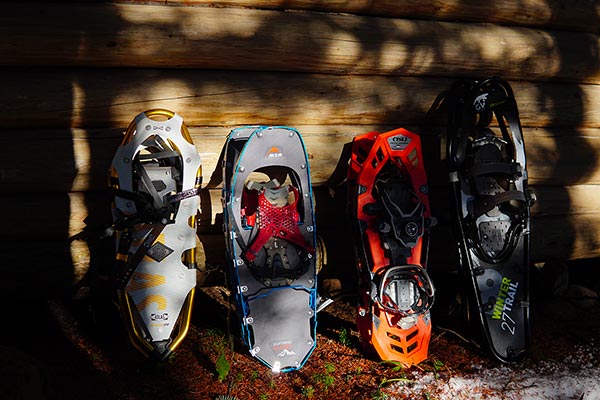
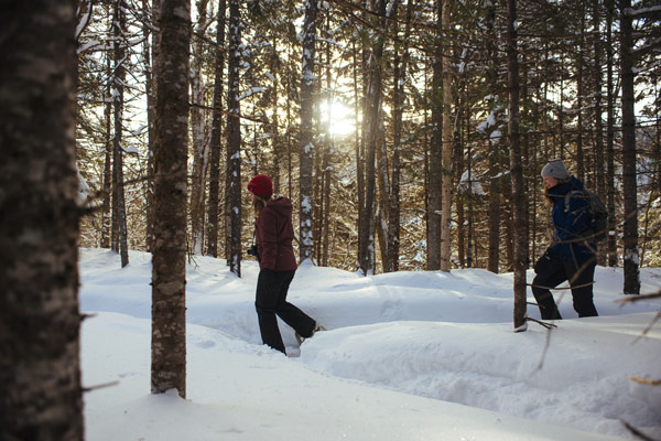
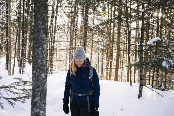
S’initier à la raquette
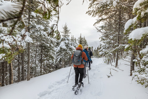
Nos destinations coups de cœur pour la raquette
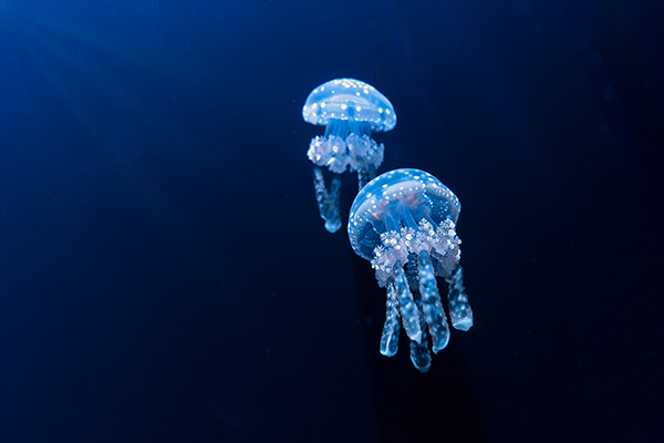
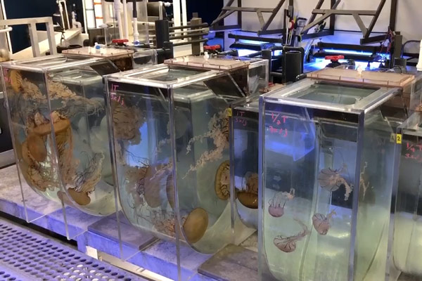
Mordue de méduses
 Aquarium du Québec
Nager dans le bonheur
Passion poissons
Le Gîte du Mont-Albert : mon endroit préféré au monde
Répit familial Leucan à Duchesnay
Ski de fond : des histoires de familles pour traverser l’hiver
Un été 100 % surprenant!

L’automne à la saveur #sepaq

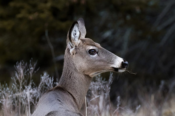
Les mœurs du chevreuil en temps de rut
9 coups de cœur de notre équipe
6 randonnées secrètes de notre équipe
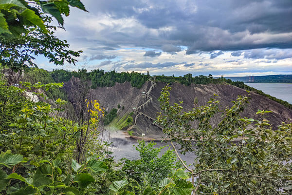
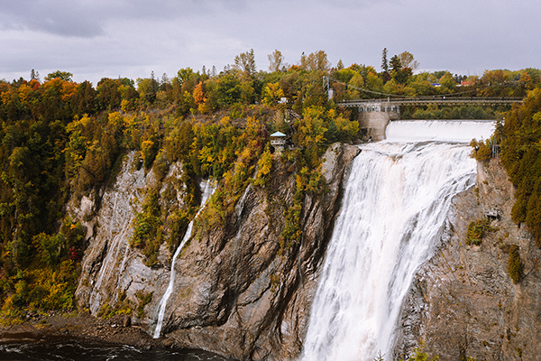 Parc de la Chute-Montmorency
La chute dans l’objectif de 5 photographes
Geneviève, l’aventurière
Le retour aux sources avec Chuck Hughes
La chasse au petit gibier : le choix parfait pour initier un jeune

Amoureuse des poissons
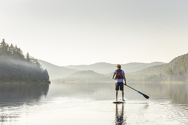
Acheter une planche à pagaie
Valérie Bégin et ses mammifères marins
Derrière les splendeurs du mont Albert

10 raisons de tomber sous le charme de l'Auberge de montagne des Chic-Chocs
La saison préférée des ornithologues
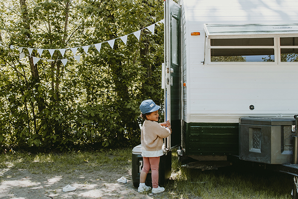
Camping en roulotte : le plaisir d’être chez soi partout

7 destinations à deux pas de la ville

Carnet de voyage au parc national du Bic
Repenser son métier et sa retraite
S'offrir la nature 24/7
Choisir le bonheur
Duchesnay : là où il fait bon de travailler
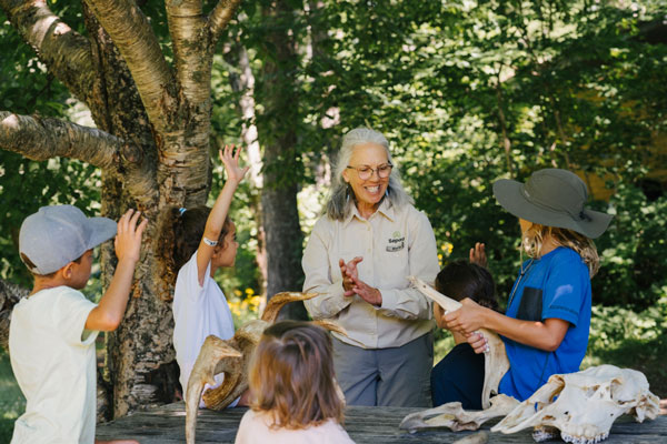
L’écoéducation par la nature : une école à ciel ouvert

10 raisons de chasser en amoureux
 Réserve faunique de Portneuf
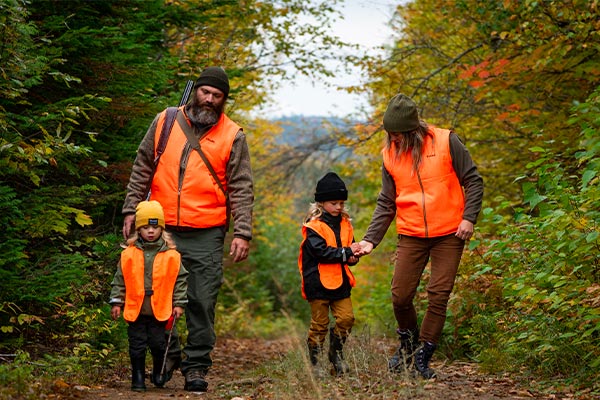
Initier sa famille à la chasse au petit gibier
Petit guide d’observation des oiseaux en hiver
Nos incontournables pour une sortie hivernale en tout confort
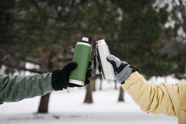
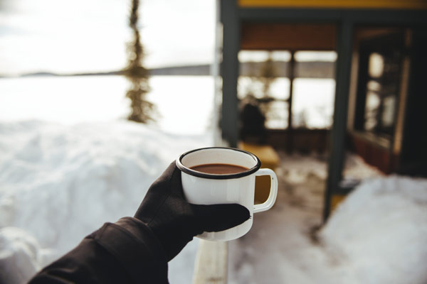
Jamais sans mon thermos!
S’engager dans La Lancée
Un temps des Fêtes en toute sérénité
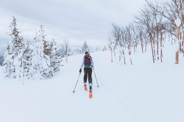
Le ski hors-piste, c’est comme le ski alpin?

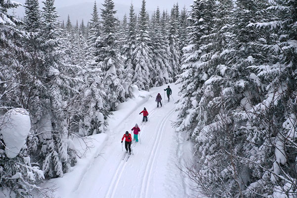
Nouveau Camp Mercier : destination ski de fond

Le ski de fond pour les nuls

Nos suggestions d’activités pour l’entre-saison
Duchesnay : l’art d’en mettre plein la vue
La fois où...
Des passionnés plus vrais que nature
Les métiers de l’entretien et de la maintenance
Jeux pour amuser les enfants (et les grands) en vacances

Les meilleurs conseils de Corinne Gariépy pour la chasse au chevreuil
 Parc national de la Gaspésie
À la découverte du ski hors-piste en Gaspésie
Comment déjouer le chevreuil?
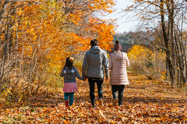
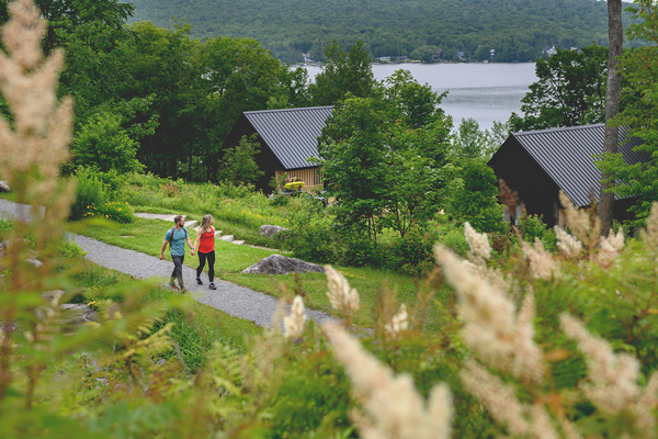
Prolonger l’été en famille au parc national d’Oka
Comment bien conserver votre viande de gibier

6 idées pour s'évader en solo

Trousse de premiers soins : on apporte quoi?

Observer les oiseaux au parc national de la Jacques-Cartier
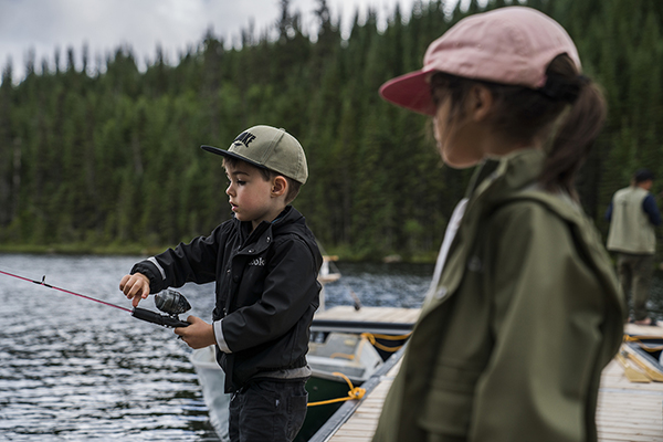
Petit guide de survie pour la pêche en famille
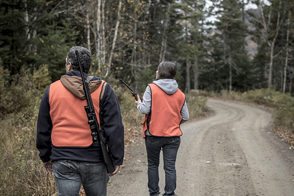
Chasse Québec : les meilleurs conseils de l’équipe
Photographier la nature sous la pluie

Mode d'emploi pour s'amuser sous la pluie

Les incontournables pour la chasse au petit gibier
Pêche à la journée : six incontournables

Chasse au petit gibier : conseils pour les nouveaux adeptes
Le grand retour du Noël des campeurs
Initier son ado à la pêche
Outils technos pour ornithologues amateurs
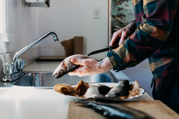
Cuisiner le poisson fraîchement pêché
La pêche pour les nuls

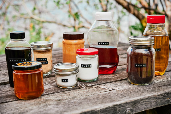
Cuisine de chasse et pêche
Randonnée pédestre : quoi mettre dans son sac à dos
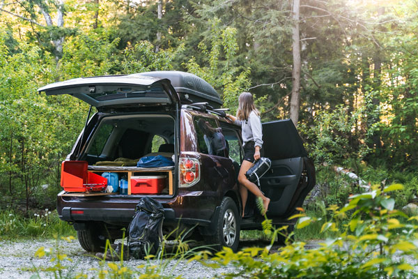
L’art de (bien) camper dans sa voiture
Astuces pour conserver et cuisiner ses prises
Notre petit guide pour prendre soin de la nature
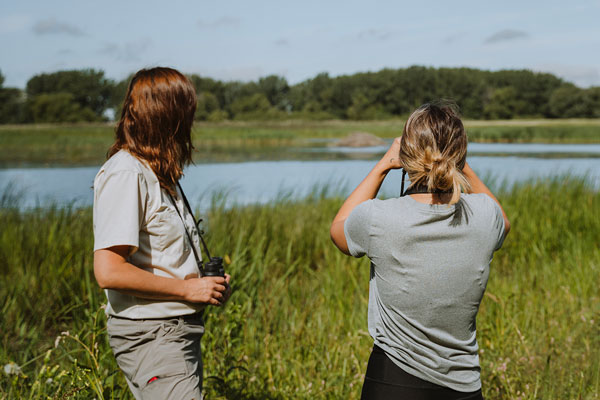
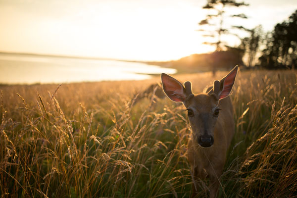
Observation de la faune : les meilleures pratiques
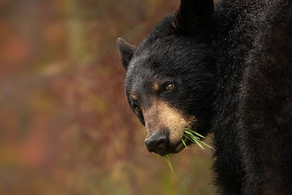
Chasse à l’ours : comment évaluer un spécimen de belle taille?
Se régaler en mode zéro déchet
Éric Deschamps, ambassadeur nature de la Sépaq
Récit d'aventures sur l'île d'Anticosti
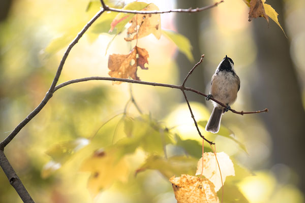
Observer les oiseaux : conseils de pro
Pêche à la journée : quelques pistes pour partir du bon pied
Comment élever son jeu à la pêche
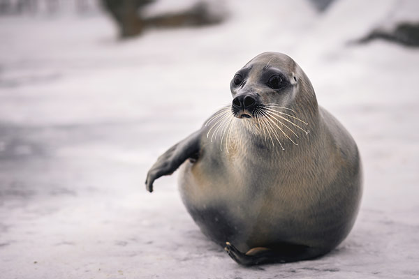
Les ours de l'Aquarium du Québec
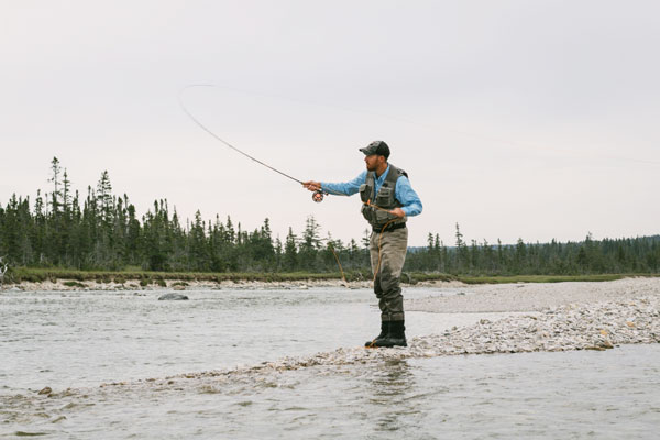
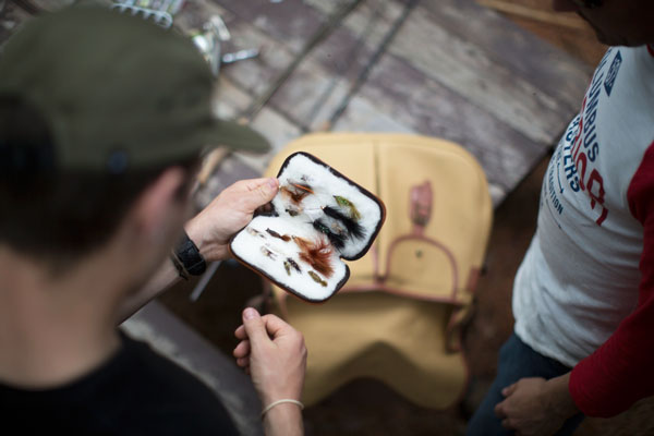
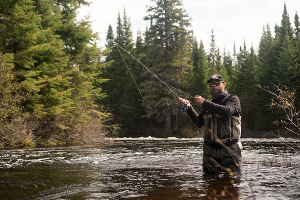
Apprivoiser la pêche à la mouche
Nos astuces pour initier ceux qu’on aime au camping
10 raisons de travailler à la Sépaq
13 boulots pour étudiants mordus d’aventure
Le paysage humain
Nos idées-cadeaux pour une Saint-Valentin 100 % différente (et 100 % réussie)
L'hiver à son rythme avec Marilou
Les meilleures collations à emporter l’hiver
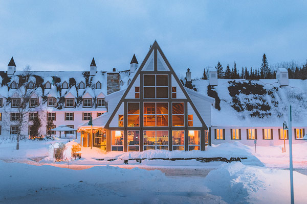
Renouer avec l’hiver à Duchesnay
Un Noël réconfortant au chalet

10 choses à faire pour préparer sa chasse de l’an prochain
6 activités pour aimer l’hiver

Nos meilleures idées-cadeaux Sépaq
Les outils incontournables de la chasse à l’orignal
Les clés d’une sortie d’automne réussie

Les meilleures sorties de l'automne en chalet
Le Parc de la Chute-Montmorency : un gym à ciel ouvert
Le Parc de la Chute-Montmorency autrement
Les avantages méconnus du camping d’automne
L’automne en amoureux au parc national du Mont-Tremblant
7 mythes sur le camping rustique et sauvage

Nos idées de sorties pour étirer l’été
L’automne au Gîte du Mont-Albert
Chasse à l’orignal : 5 clés pour améliorer votre taux de succès
Chasse à l’orignal : les apprentissages de 4 grandes passionnées
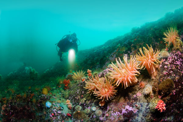
La plongée sous-marine inspirée de la nature
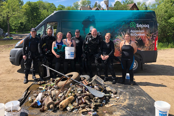
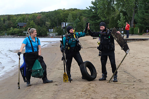
Plongeurs à la rescousse
Femme poisson… ou presque
Dans les coulisses des réserves fauniques
S’équiper pour le camping rustique
Cuisiner en plein air en collaboration avec Geneviève O'Gleman

Du camping à l’état pur

5 superbes destinations de pêche‑camping

Suggestions de bons lacs en pêche à la journée

Nos meilleurs endroits pour s’initier à la pêche
Ma petite histoire de pêche
Réserve faunique de Matane : histoires de truite et de saumon
Le chef Jean-Luc Boulay à Ashuapmushuan
Le secret bien gardé pour la pêche au doré
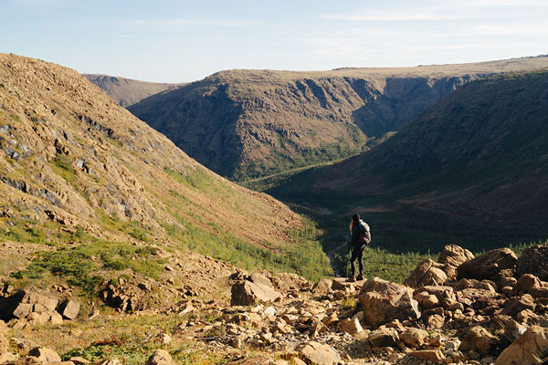
Tomber sous le charme de la randonnée : 9 défis à relever
Idées de sentiers à découvrir selon votre région
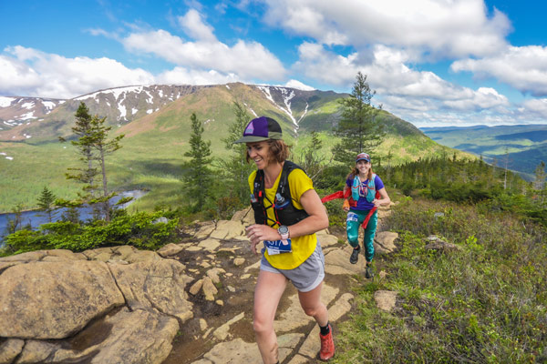
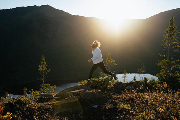
S’initier à la course en sentier
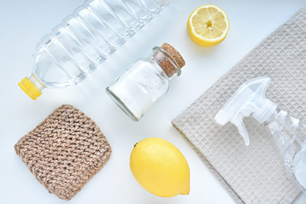
Des produits ménagers à réaliser à la maison
Les poissons aussi en quarantaine?
Photographier la faune : trucs et conseils pour débuter

Virée verte : Go-Van explore les parcs nationaux du Québec

Vos coups de cœur de l'hiver sur Instagram
Jouer dehors quand il fait froid
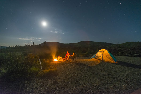
Destinations étoilées pour un séjour en camping

Des sorties originales pour la Saint-Valentin

5 endroits de rêve pour les grands romantiques

Nos meilleurs chalets pour profiter de la relâche
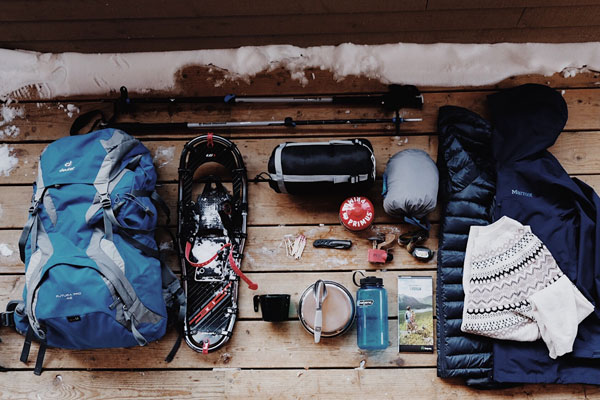
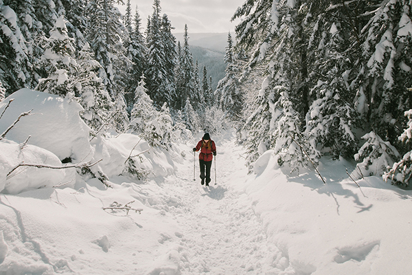
S’équiper pour la longue randonnée d’hiver
Nos meilleures destinations pour la courte randonnée en hiver
La longue randonnée d’hiver : mythes et réalités

Les pouvoirs magiques du ski de fond
Ma première longue randonnée d’hiver
L'observation de la faune en hiver
Un urbain en cavale… au mont Saint-Bruno

5 endroits pour dormir en bordure des pistes de ski de fond

Les plus beaux paysages à découvrir en hiver
Yamaska, un charme bien caché
Virée gourmande avec Martin Juneau

Nos 5 raisons d’aimer la saison des couleurs

Chasse Québec : la websérie
Séjours d’automne : les meilleurs endroits pour partir à l’aventure
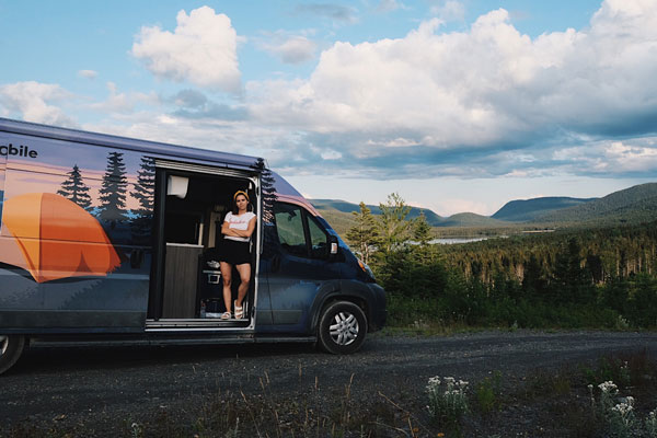
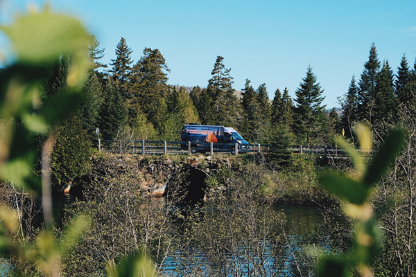
Sépaqmobile : l’aventure sur quatre roues
Les plus beaux succès de pêche de la saison
Le parc national des Grands-Jardins, de bas en haut

L'observation des étoiles pendant les Perséides
5 choses à oublier volontairement lors d’un séjour de pêche-camping
L’ABC de la « vanlife »

5 expériences de pêche à découvrir

Nos activités incontournables dans la région de Montréal

Nos activités incontournables dans la région de Québec
11 idées de sorties à moins de 100$

Quoi faire en cas de canicule?

Sorties simples pour les personnes à mobilité réduite
Virée de rêve au parc national du Mont-Tremblant

Pêche et séjour en chalet : la combinaison parfaite

Un voyage dans les étoiles, le temps d’un week-end
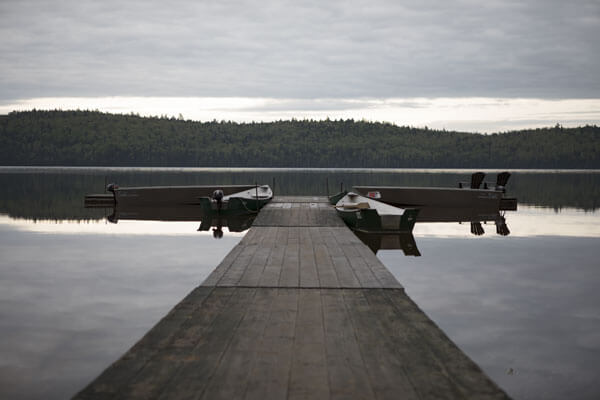
5 lacs mythiques situés dans les réserves fauniques

Les secrets de la pêche à la truite grise

Chasse à l'ours : les meilleurs trucs de Michel Therrien

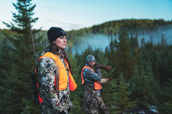
Ces femmes qui chassent et pêchent

Jasons chasse et pêche entre femmes

Conseils de pro : la sécurité en montagne

Nos chalets situés au cœur des activités

Une sortie avec pitou dans les destinations de la Sépaq

Pêche : comment s’équiper pour moins de 100 $

Des chutes à découvrir dans les destinations de la Sépaq

4 sommets à explorer en duo

Des activités en nature simplement géniales pour les enfants

5 itinéraires de rêve en véhicule récréatif

Des parcours naturels pour la course à pied

Une virée en Gaspésie : les coups de coeur d'Our Next Project
Pêcheurs aventuriers recherchés

L'île d'Anticosti : place au rêve!

6 voyages d'une vie dans les destinations de pêche de la Sépaq

Nos meilleurs trucs pour l’observation de la faune

Les secrets derrière la création d'un parc national

Nos meilleurs sentiers de randonnée pour l’observation des couleurs

Le retour aux sources : Sépaq x Bravejack

Prospecter votre territoire de chasse à l’orignal

6 destinations pour avoir la sainte paix

Les pêcheurs sont les meilleurs amoureux

Instants de nature inédits

Éclipse solaire partielle : quand les astres s'alignent

Les meilleurs endroits pour séjourner en nature dans les réserves fauniques

Nos meilleures destinations pour l’observation de la faune